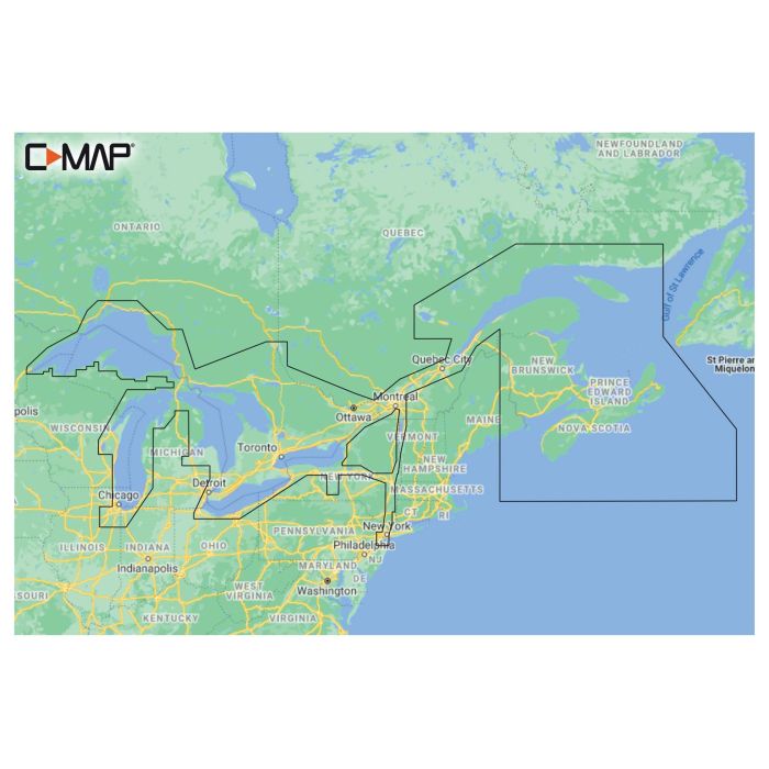
C-MAP Reveal Coastal - Great Lakes to Nova Scotia
$267.99
In stock
SKU
7000698
- Whether cruising or fishing, C-MAP REVEAL Coastal charts offer the very best of C-MAP.
- With Shaded Relief, including Reveal Seafloor, Aerial Photography, Satellite Overlay and Dynamic Raster Chart presentation added to the core C-MAP features found in DISCOVER - full-featured Vector Charts, with Custom Depth Shading, Tides and Currents and Easy Routing.
- Coastal and Seafloor Shaded Relief.
- High-Res Bathymetry.
- Subscription-Free Easy Routing.
- Aerial Photography.
- Detailed Marina Port Plans.
- Harbor & Approach Details.
- Online Updates - 12 months’ free updates.
- Compatible with Lowrance, Simrad and B&G Chartplotters.
| Map Territory | Great Lakes to Nova Scotia |
|---|---|
| UOM (Sales) | EA |
| Catalog Download Url | http://dtsiridoo2bfv.cloudfront.net/2023/Donovan/pdfs/0056.pdf |
| Vendor Part No | MNAY201MS |
| Vendor Name | Lowrance |
Write Your Own Review

