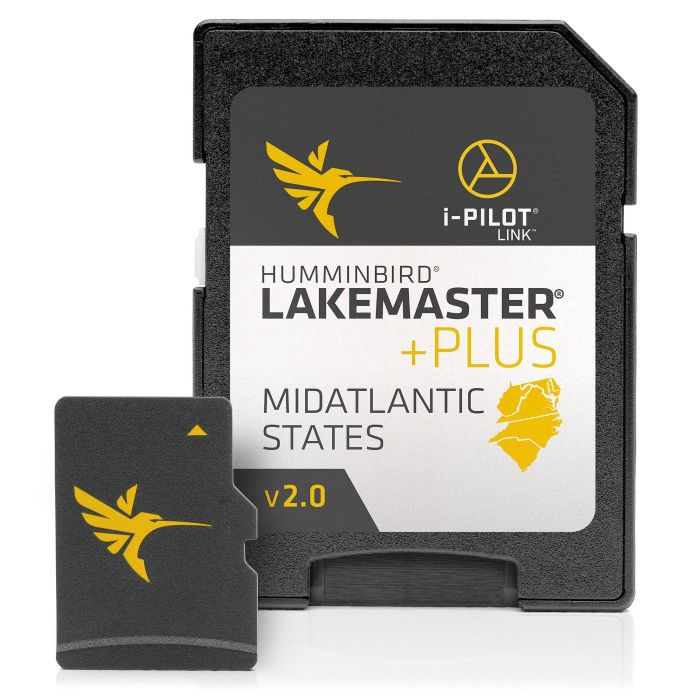
LakeMaster® PLUS Digital GPS Map - Mid-Atlantic - DE, MD, NC, SC, VA, WV
$149.99
In stock
SKU
404092
- Allows for aerial image overlay on high-definition waters giving you the ability to use quality aerial photography to view the entry and exits of creek channels, see how far a reef or weed line extends and pick out shallow water rock piles, steep drop-offs or other features of the lake you’ve been missing from traditional maps.
- LakeMaster SD/micro cards include features such as Depth Highlight, Shallow Water Highlight and Water Level Offset, which can be used exclusively with Humminbird fish finders.
- Can be used with a Minn Kota i-Pilot Link trolling motor, allowing you to “Follow” a selected depth contour line, delivering precise, automatic boat control.
- Scrollable lake list allows you to view and research lakes from your Humminbird fish finder.
- LakeMaster PLUS cards are compatible with all GPS-equipped HELIX, SOLIX, ONIX and ION Series models, along with select 600-1100 Series models.
- Mid-Atlantic - DE, MD, NC, SC, VA, WV.
| Map Territory | Mid-Atlantic |
|---|---|
| UOM (Sales) | EA |
| UPC Code | 8232404583 |
| Length | 11 |
| Catalog Download Url | http://dtsiridoo2bfv.cloudfront.net/2023/Donovan/pdfs/0034.pdf |
| Vendor Name | Humminbird |
| Vendor Part No | 600043-4 |
Write Your Own Review
Related Products
Check items to add to the cart or