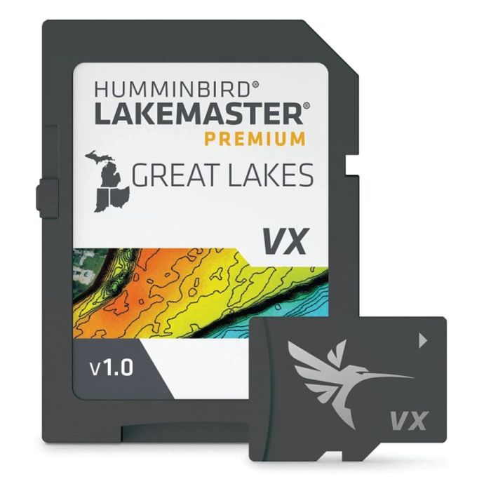
LakeMaster® Premium Digital GPS Maps (VX Technology) - Great Lakes - MI, IN, OH
$199.99
In stock
SKU
4041040
- 2D Shaded Relief: Make bottom detail and depth changes easy to spot so you can quickly identify fish holding areas.
- Aerial Imagery: Navigate more confidently and find new fishing spots with the help of aerial imagery.
- VX Technology: Provides exceptional map performance and customizable color palettes.
- Chart Presets: Simple and easy to change between your own custom view settings.
- Depth Highlight: Highlight a selected depth range so you can target productive water and stay where the fish are.
- Shallow Water Highlight: Easy-to-see red shading highlights shallow water areas on an adjustable range from 0 to 60 feet.
- Water Level Offset: Synchronize the depth contours and shorelines of your LakeMaster charts with the actual water levels of lakes, reservoirs and rivers.
- One-Boat Network: Connect your Humminbird LakeMaster chart and Minn Kota trolling motor, allowing your boat to automatically follow a depth contour line.
- Compatible with Humminbird HELIX G3/G3N and newer, all SOLIX units and all APEX units.
- 1-Year Cartography Warranty.
- Great Lakes - MI, IN, OH.
| Map Territory | Great Lakes |
|---|---|
| UOM (Sales) | EA |
| UPC Code | 82324056642 |
| Vendor Part No | 602002-1 |
| Vendor Name | Humminbird |
Write Your Own Review
Related Products
Check items to add to the cart or
